We left Newport, OR at noon today, and operations are already well underway on Leg 3 of the OOI VISIONS’19 cruise, which will take us from June 22nd to June 29th. Things are moving quickly! By 9:00 we had already completed three dives, deploying all of the cabled instruments at the Oregon Shelf 80 meter site: a benthic experiment package (BEP) containing multiple oceanographic sensors (pH, pCO2, salinity, temperature, pressure, current speed, and an underwater microphone), a new digital still camera to take pictures of the seafloor, and a new bioacoustic sonar to acoustically image fish and other objects farther away in the water column.

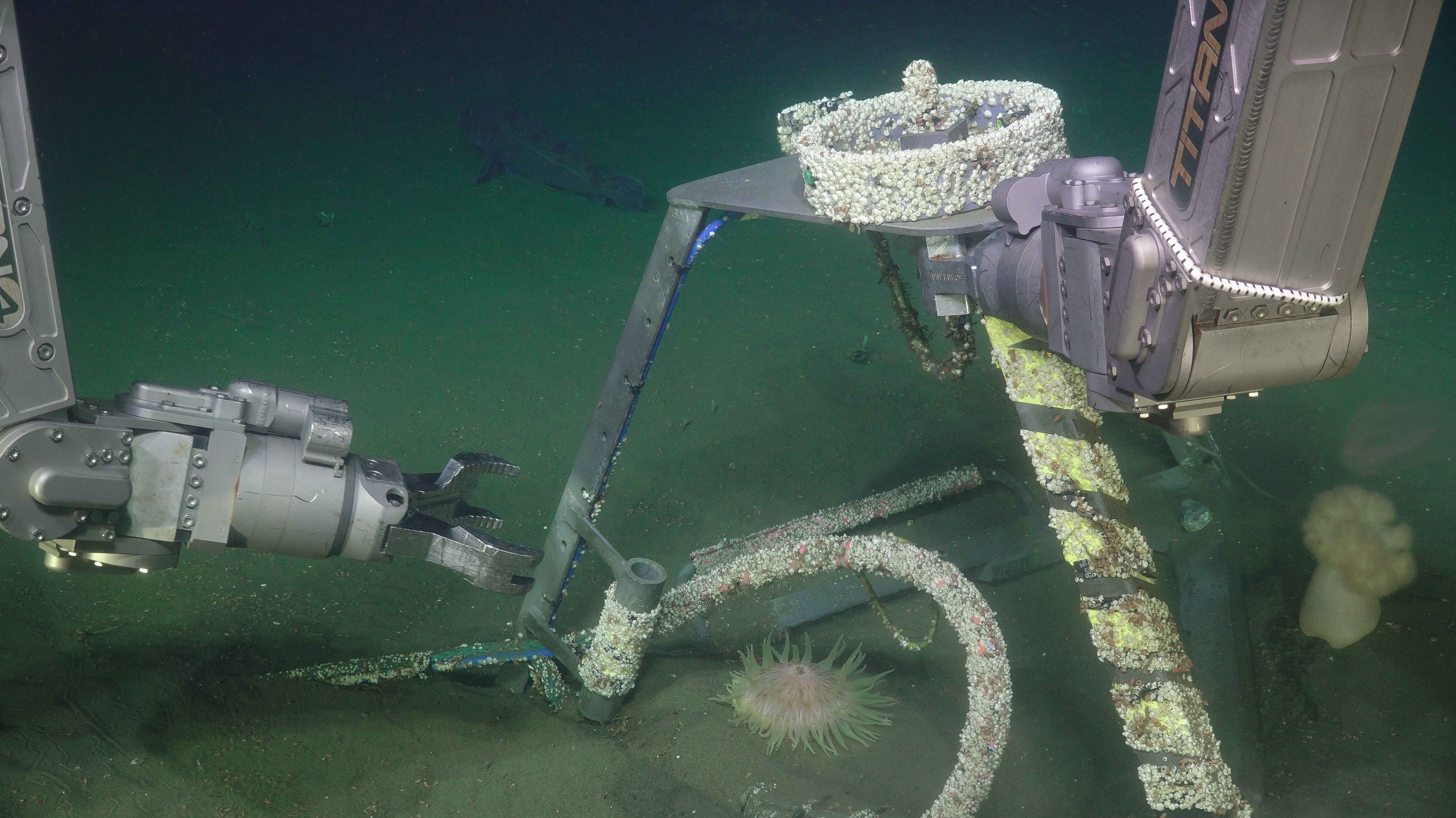
Although it may seem convenient to be able to get into the water, down to the seafloor, and back to the ship so rapidly at shallow locations, it actually increases the degree of difficulty quite a lot. For one thing, at shallow sites wave motion travels all the way to the bottom, creating swells and currents that make the ROV move up and down and side to side in unpredictable ways. The pilots don’t love that. The second issue is that it doesn’t give the technicians and scientists much time to prepare equipment between dives. If Jason is already done and coming back up while another platform is being prepared, it puts extra time pressure on getting instruments connected, tested, and ready to deploy. And finally, there’s just more material getting washed around in shallow water, because with all the sunlight and mixing and wave activity, phytoplankton (microscopic plants) are thriving. Subsequently, the zooplankton (microscopic animals) are also having a field day, along with the animals that eat them, and so on. This means that visibility can be extremely limiting, especially when waves are kicking up material from the seafloor and making the water murkier.
Today we got very lucky with the visibility and weather, and the technicians did an amazing job getting the equipment ready for deployment, so we were able to get all the planned work done at the 80 meter site. We’re now moving to Hydrate Ridge to recover a sonar instrument built by scientists from MARUM, the Center for Marine Environmental Sciences in Bremen, Germany. Hydrate Ridge is a site of natural methane seeps at ~780m water depth approximately 90 km west of Newport. In areas of the deep sea like this one, with high methane concentrations, the cold temperatures and high pressure create a kind of ice called ‘gas hydrate’, where methane molecules become trapped inside a lattice of water crystals. We will be going back and forth to Hydrate Ridge a couple of times during this leg to recover and deploy instruments, so stay tuned for more videos and images of this exciting location!