
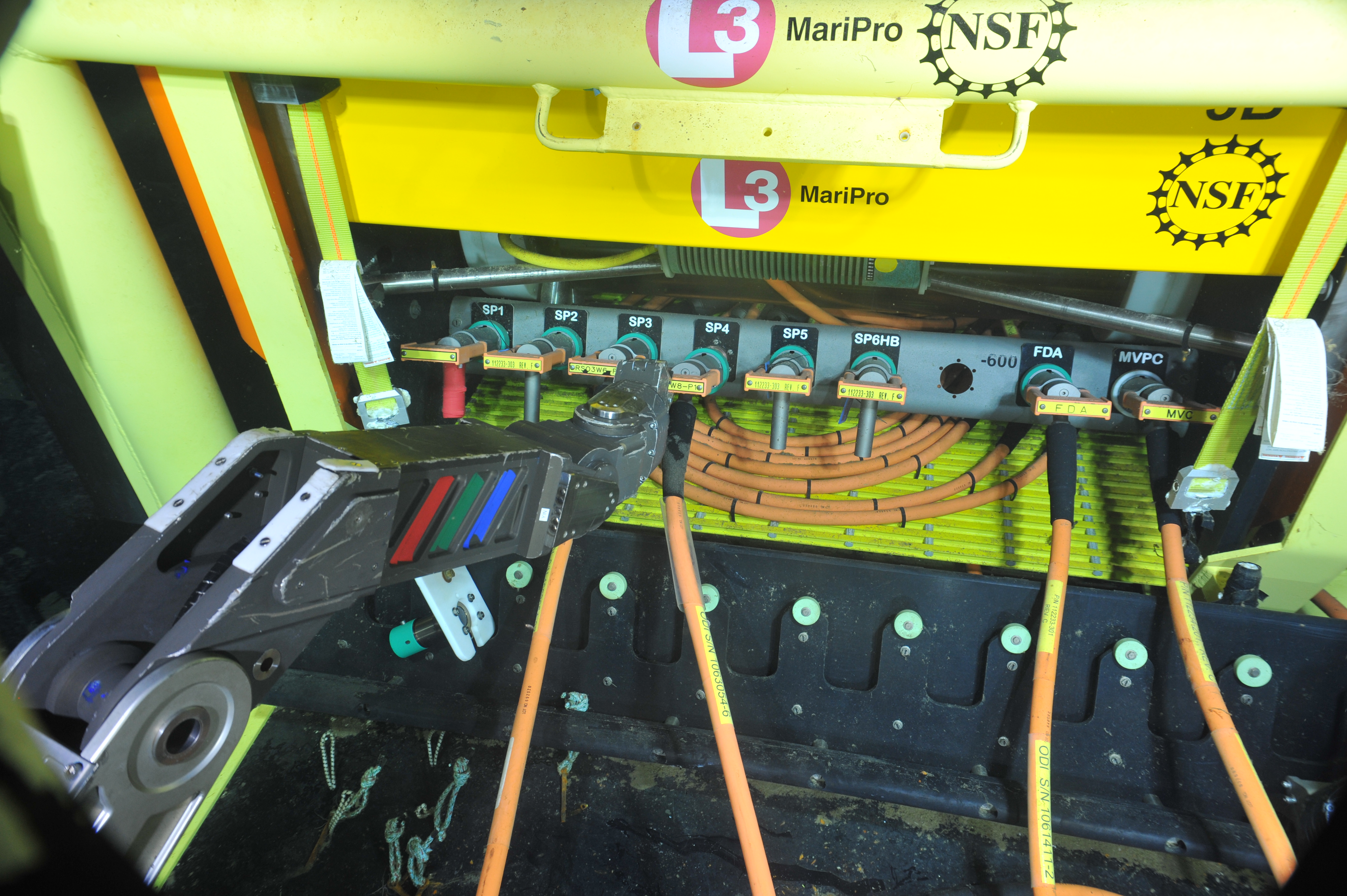
In 2014, NSF’s Ocean Observatories Initiative Regional Cabled Array (RCA), operated by the University of Washington, became operational streaming real-time data to shore from a diverse array of 150 instruments. The network spans the Juan de Fuca tectonic plate, with two backbone cables extending from a Shore Station in Pacific City, Oregon. One branch extends ~480 km due west to Axial Seamount, the largest and most active volcano on the Juan de Fuca Ridge. The second branch extends 208 km southward along the base of the Cascadia Subduction Zone (2900 m) and then turns east extending 147 km to 80 m water depth offshore Newport, Oregon. The backbone cables connect the Shore Station to Primary Nodes, which are distribution centers for extension cables that provide direct access to the specific sites of scientific interest.
The submarine fiber optic cables provide two-way 24/7/365 communication with direct connection to the Internet, with expansion up to 240 Gb/s and high power (8 kW). These capabilities allow highly interactive, rapid responses with adaptive sampling to events such as formation of thin layers, large storms, internal waves, volcanic eruptions, and earthquakes.

The RCA also includes six state-of-the-art instrumented, full water column moorings (up to 2900 m water depth) hosting instrumented wire crawlers, winched science pods, and platforms to study linkages among physical, biological and chemical processes spanning blue water to coastal systems along the Cascadia Margin and 300 miles offshore. The coastal array, including Slope Base, Southern Hydrate Ridge, and the Oregon Offshore and Shelf sites, is located within highly productive coastal waters strongly impacted by the California Current, upwelling, ocean acidification, and hypoxia events.

The network also includes cutting edge seafloor sensors focused on understanding connections between volcanism, seismicity, and life in extreme environments at Axial Seamount, the largest and most active volcano off of the OR-WA coast: Axial erupted in 1998, 2011, and 2015 and is poised to erupt again.
An array of instruments is also located at Southern Hydrate Ridge (800 m water depth), a highly active methane seep environment to monitor seismicity, biogeochemical processes and fluxes in actively forming gas hydrate systems. A seismometer array on the Juan de Fuca plate and adjacent margin provides real-time monitoring of earthquakes within the Cascadia Subduction Zone, which in 1700 was impacted by a magnitude 9 megathrust event.
With an operational life of at least 25-30 years, the RCA will provide decades of sustained, high quality coregistered, multidisciplinary data at rates up to 250 kilisamples/second and at spatial resolutions of centimeters to kilometers. The high bandwidth and power provides significant expansion capabilities for innovative sensing systems that include advancement of autonomous vehicles with companion docking stations that can change missions in response to changing conditions without human intervention, 3D imagers, and in situ DNA samplers.
In 2021, the first community experiment using a Distributed Acoustic Sensing system in marine enviornments was conducted on the RCA during a 4-day period when the Shore Station was undergoing maintenance. Two laser systems attached to the north and south lines allowed interrogation of the fibers out to 65 km and 95 km’s, respectively and effectively turning each 3 m to 30-50 m of the cables into a sensor (Wilcock et al. 2023). Over the 4-day, highly successful experiment, 10’s of thousands of whale calls were detected.
International installation of progressively advanced submarine cabled observatories will provide unprecedented monitoring of the oceans, and the entrainment of a global community of users – researchers, educators, policy makers and the public.
Wilcock, W.S.D., S. Abadi, and B.P. Lipovsky (2023) Distributed acoustic sensing recordings of low-frequency whale calls and ship noise off Central Oregon.