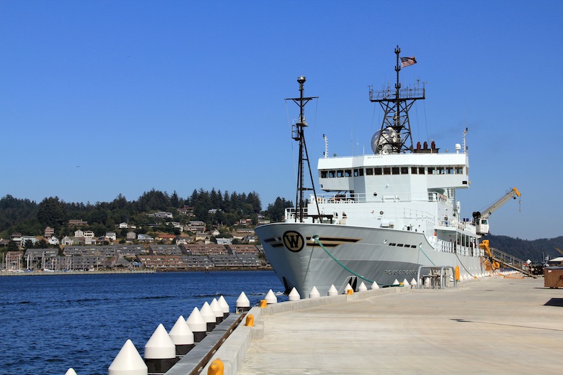
As we transit towards Axial Volcano with the gift of some quiet preparation time, it is good to reflect on our accomplishments during Leg 1 and on the tasks ahead. The overarching goal of Leg 1 was to choose the key experimental sites for sensor deployment at Southern Hydrate Ridge. The main science driver at this site is the investigation of linkages among seismic events, methane hydrate formation, and gas release, and the impact of these processes on the novel microbial communities that thrive in this system at depths of 2000 feet beneath the ocean's surface. Thanks to the phenomenal work by the ROPOS team we achieved this goal and more! Tasks completed include the following:
Southern Hydrate Ridge:
- Over 11,000 continuous down-looking, high-resolution images were taken on a single dive; these will be mosaicked into a single image of the active seep sites covering the equivalent of approximately three football fields
- Discovery of a large collapsed area in the seafloor that indicates significant methane release – a new feature since last year
- Discovery of Einstein’s Grotto – a hole, 3-feet across, emitting a very large intermittent plume of billowing methane bubbles
- Tracing of methane-rich fluids to within only 300 feet beneath the ocean's surface.
Successful completion of these tasks, coupled with the first deployment, installation, and recovery of the Science Interface Assembly into the OOI-RSN Primary Node, puts us in good standing for deployment and cabling of these sensors in 2013!
Coming Up: Axial Volcano:
We will reach the recently erupted Axial Seamount at ~ 0700 Sunday morning with an immediate ROPOS dive to the base of the volcano, 9,000 feet beneath the ocean's surface. From there ROPOS will travel up the flanks of the volcano, imaging the high-power and high-bandwidth OOI backbone cable that was recently installed by L3-Maripro. We will also deploy a robotic vehicle called a glider that will dive to depths of 3000 feet and will measure the chemistry of the ocean around the volcano since its eruption. The glider will periodically "swim" to the surface and transmit its data to a satellite, thus providing us daily updates about the ocean here.
On Monday we begin work at the summit of the volcano with ROPOS transmitting the first live streaming video of the new eruption discovered by Bill Chadwick from Oregon State University and NOAA. We are extremely fortunate to have the newest high-resolution map of the eruption that was collected only last week by Dave Clague and David Caress from the Monterey Bay Aquarium Research Institute. This new view of the seafloor topography since the eruption will serve as a critical guide to laying out OOI secondary cable routes. We anticipate seeing newly generated “snow blower vents” and lava flows covered with microbial mats, evidence of the life that arises from an underwater eruption. Only rarely have such sites been seen.


