The InteractiveOceans Data Portal is an interface designed to enable scientists, educators, and students to quickly locate and plot cabled, real-time Ocean Observatories Initiative (OOI) data produced by the Regional Cabled Array (RCA). The goals of this interface are 1) to increase active use and publication of RCA data by scientists and to support the exploration of RCA data by a broader base of educators and the general public; 2) to provide additional tools for scientists to discover, access, visualize, and use RCA data sets suitable for addressing specific science hypotheses; and 3) to provide an intuitive, user-friendly data search and visualization interface, coupled with a convenient data downloading scheme.

The dashboard provides advanced search capabilities and links to data visualization tools to quickly create plots of various types for streaming data (including a prototype real-time plotting functionality and echogram generation from the seafloor bioacoustic sonar installations).
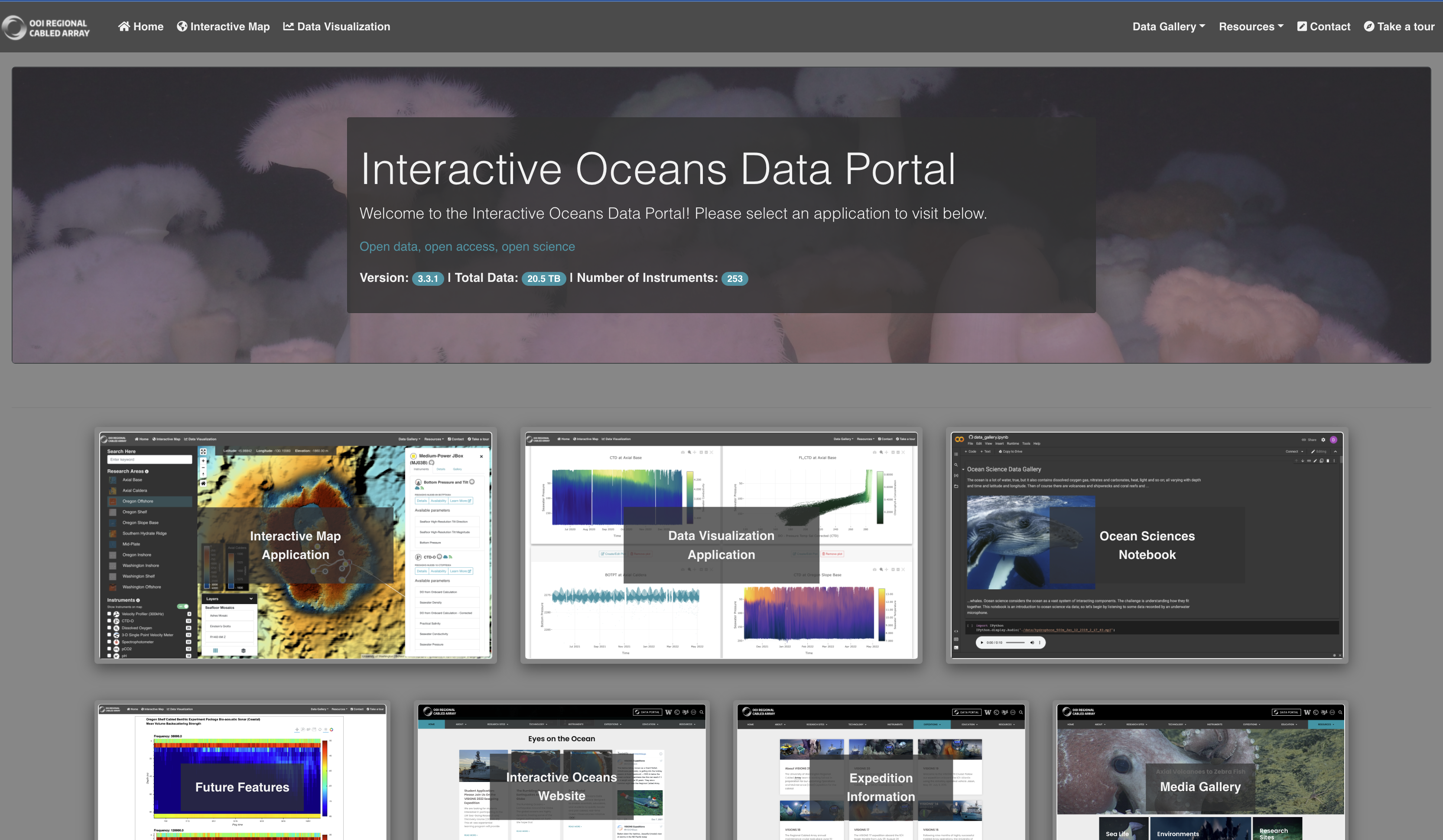
The website includes an interactive map of all RCA sites (including photomosaics and detailed bathymetry) and pathways to access data from all cabled instrumentation, including seafloor sensors and deep and shallow profiler moorings. Novel Datashader decimation algorithms and data visualization libraries are used to quickly produce plots of large datasets (including cross-comparisons of multiple instruments from anywhere on the array) while retaining the meaningful structure of the time series. The proof-of-concept back-end and front-end hosts and serves data from the public cloud in the ooi-data S3 Bucket in ZARR format (https://ooi-data.s3.us-west-2.amazonaws.com/index.html).

The next steps for the Data Portal include full access to real-time plotting tools, visualization of quality control results from the OOI system, addition of model and shipboard data to the plotting interface for use in cross-comparisons and data validation, new plotting and data visualization capabilities (e.g., sonar, hydrophone, and ADCP data), and additional open-source, scalable JupyterHub Python notebooks on topics like whale vocalization and incorporation of satellite data for educational and outreach purposes.