Image Archive
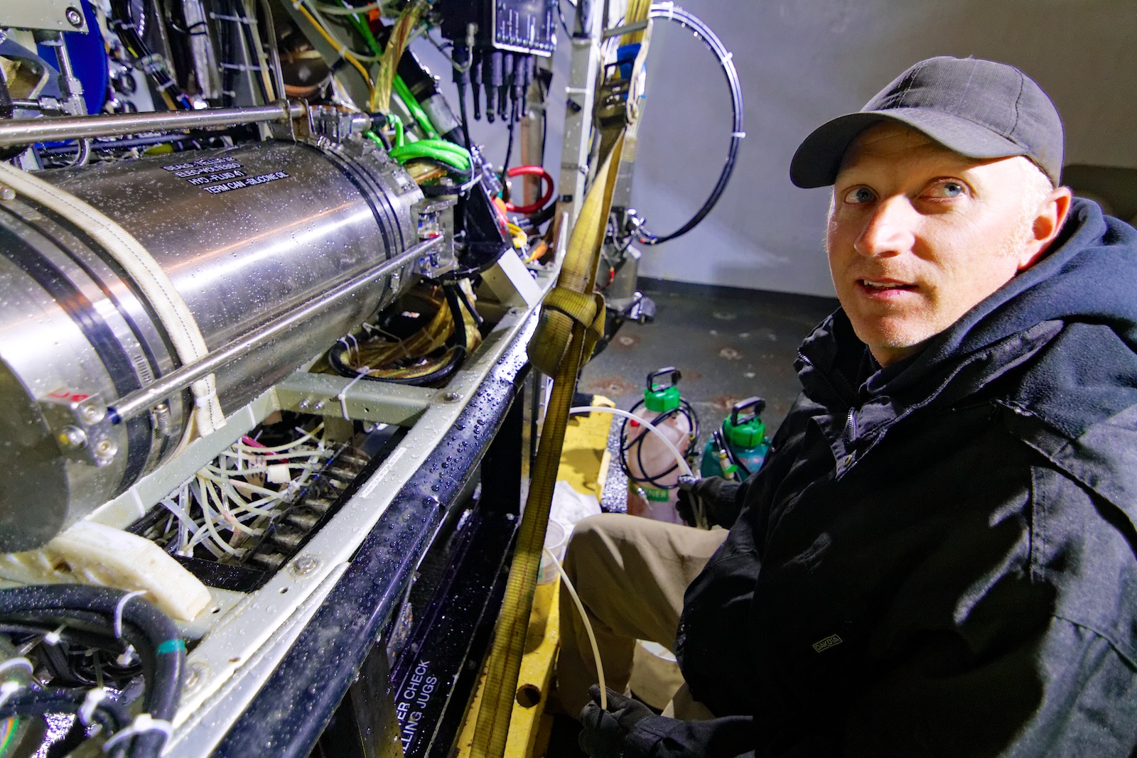











ROPOS pilot and engineer, Josh Chernov, works on the ROV. Photo by Ed McNichol

Mitch Elend works on creating maps that the ROPOS team will use as a guide as they lay OOI-RSN extension cables. Photo by Ed McNichol

During dive R-1600, ROPOS connects the 600 m cable deployed at the base of Axial Seamount to a test box on the vehicle to the secondary node at the other end. (credit: NSF-OOI/UW/CSSF)

Brittle stars (Ophiuroids) are very common in the sediments at the base of Axial Seamount, 2609 meters deep. (credit: NSF-OOI/US/CSSF)

An albatross comes in for a landing near R/V Thomas G. Thompson. (photos by Allison Fundis, University of Washington, V13)

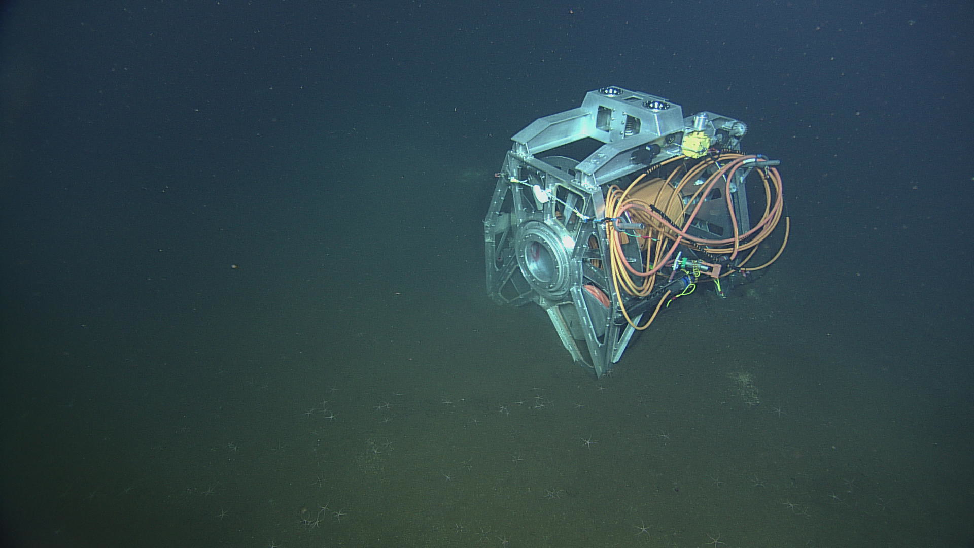
ROPOS approaches the cable laying system ROCLS at the base of Axial Seamount. The drum hosts 600 m of extension cable. Photo credit: NSF-OOI/UW/CSSF

Julie Nelson and Orest Kawka sample the CTD water cast after collecting samples from the base of Axial Seamount. Photo by Allison Fundis

Leaving Newport Oregon for Southern Hydrate Ridge, the Cascadia Margin, and Axial Volcano.

Chief Scientist John Delaney (right) narrates the live video stream as ROPOS pilot Josh Chernov approaches ROCLS, the remotely operated cable laying system, on the seafloor. Photo by Allison Fundis

Graduate student Judy Twedt stand watch as data logger during the ROV ROPOS dive. Photo by Allison Fundis

Steaming to Southern Hydrate Ridge to begin dive operations with the ROV ROPOS.

Day 1, leaving Seattle for over a month at sea aboard the UW's research ship, the R/V Thompson.

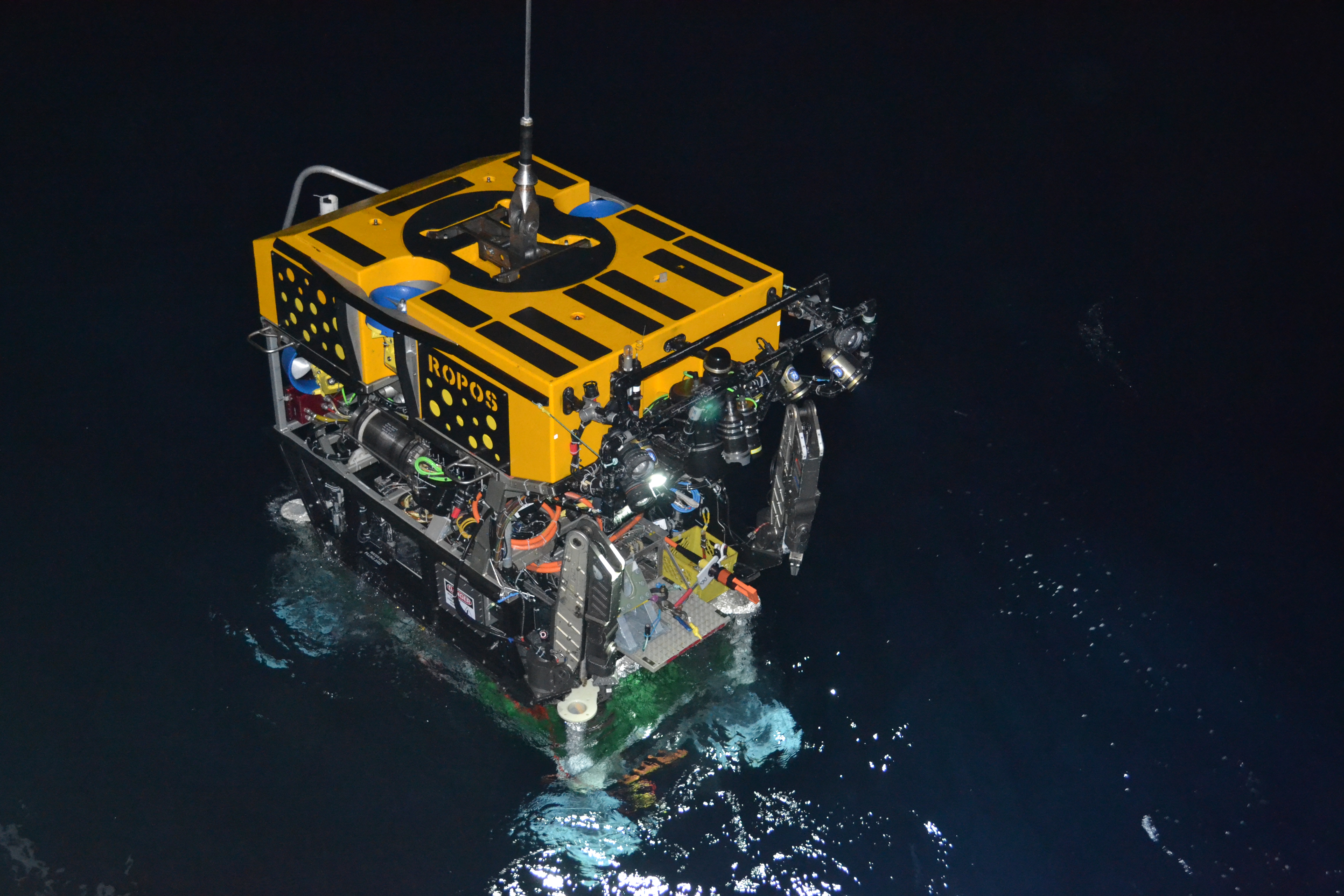
ROPOS goes into the water in the early morning of July 10, prior to descending 2600 m (~7800 ft) to the seafloor. Directly latched below the vehicle is the medium-powered junction box, MJ01A. Photo credit: NSF-OOI/UW/CSSF

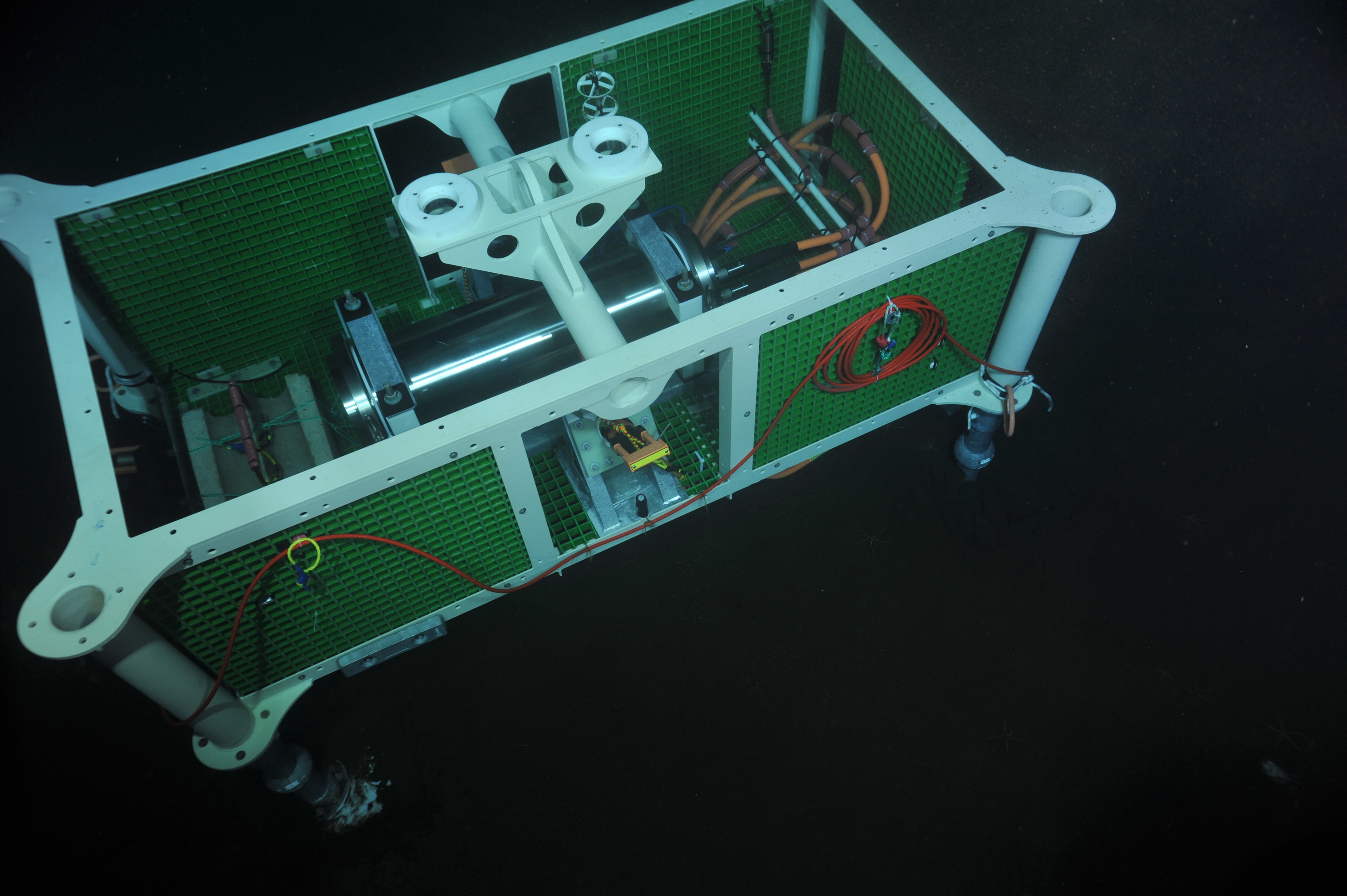
A medium power Junction Box (MJ01A), was deployed on July 10 near Primary Node 1A at the Slope Base. Photo credit: NSF-OOI/UW/CSSF

Primary Node 3A is installed at the base of Axial Volcano and connected to the backbone cable, which is connected to a terrestrial shore station in Pacific City, Oregon. This node provides 10,000 volts of power and 10 Gbs bandwidht for real-time communication. The node is located >300 miles off the coast. Photo Credit: Photo credit: NSF-OOI/UW/CSSF

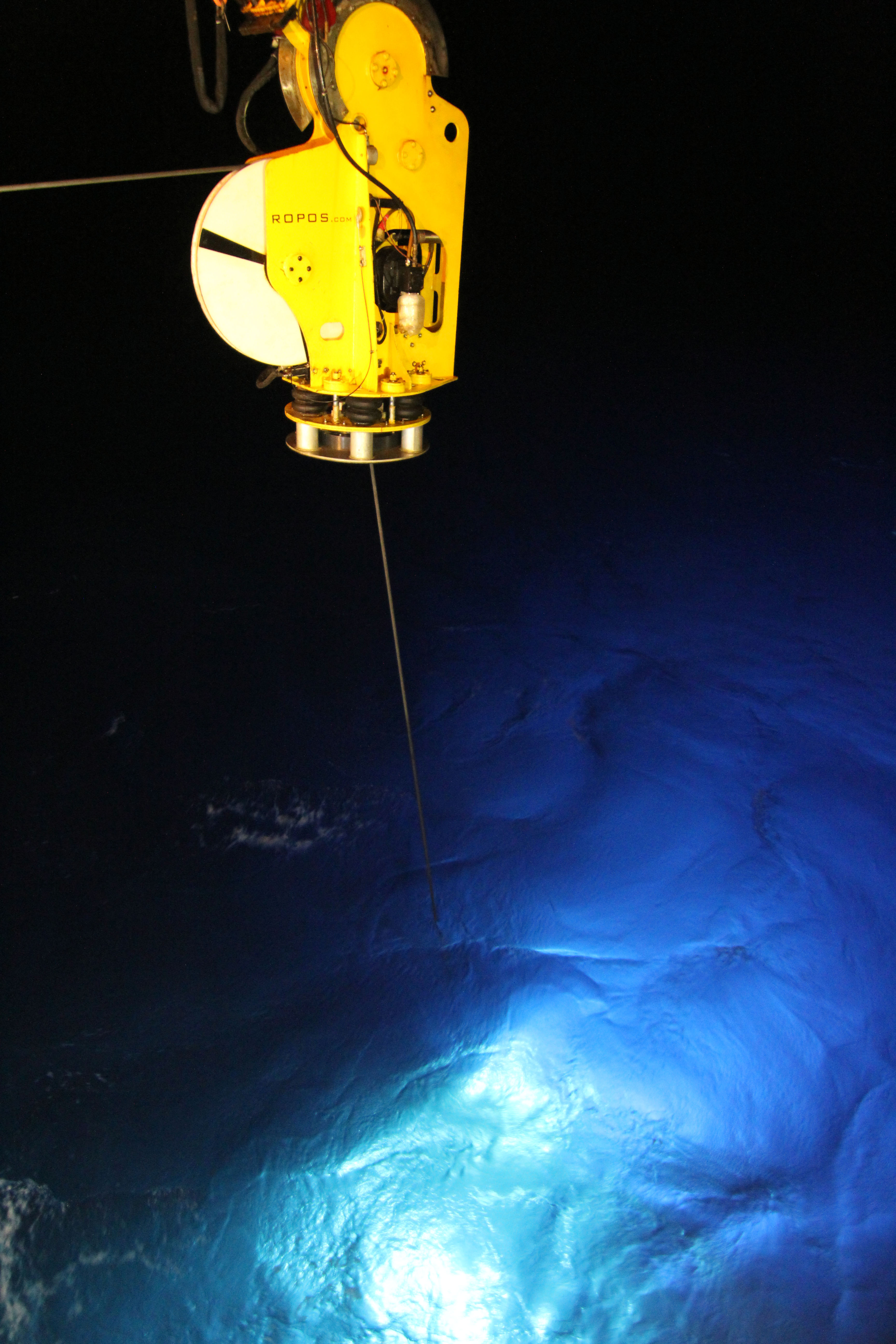
ROPOS lights up the water column as it begins its descent to the base of Axial Seamount 2600 meters deep. Photo by Allison Fundis

Vincent Auger of ROPOS watches over the ROV and secondary node as they are deployed over the base of Axial Seamount in preparation for deploying ~500 meters of extension cable. Photo by Allison Fundis

Seconday Node 3A awaits on deck to be deployed at the base of Axial Seamount, where it will eventually be connected to the primary node previously deployed there. Photo by Allison Fundis

Seven-year old Beldon Phelps created and contributed this painting of a hydrothermal vent. According to his Mom, Beldon was inspired to paint this by the work being done on VISIONS '13.

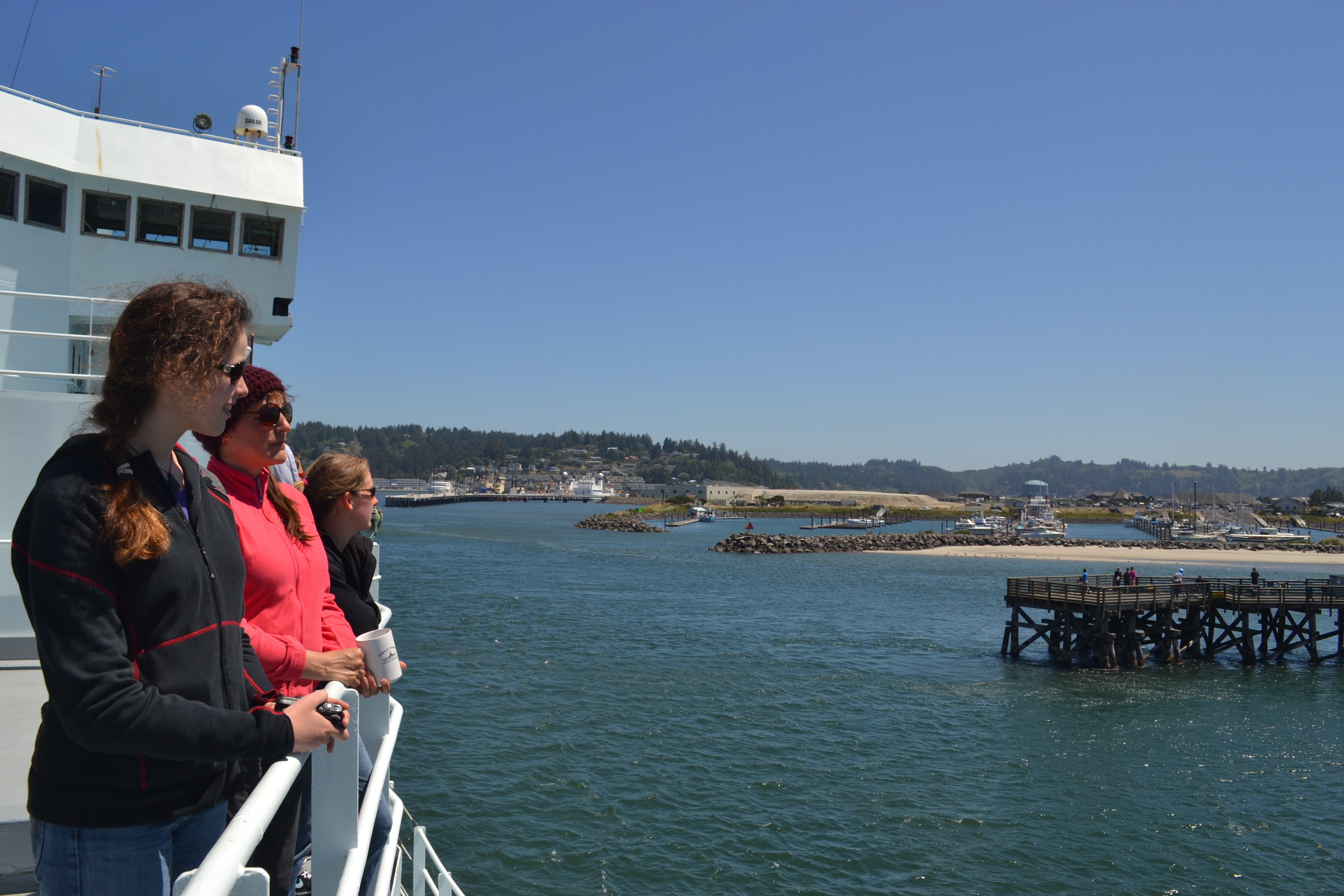
The Thompson follows a pilot boat into Newport, OR to end Leg 1. Photo by Judy Twedt

Leslie and Rick watch the first CTD cast of Leg 2. Photo by Allison Fundis

Marine Tech Brandy shows Julie, Owen, and Judy how to deploy the CTD. Photo by Allison Fundis

Applied Physics Lab engineers Geoff Cram and Skip Denny (left to right) prepare the secondary node for deployment at primary node 1A. (photo: Allison Fundis)

Undergraduate student Brendan Philip looks at data collected with the ship's multibeam sonar to image methane bubble plumes in the water column. (photo: Allison Fundis)

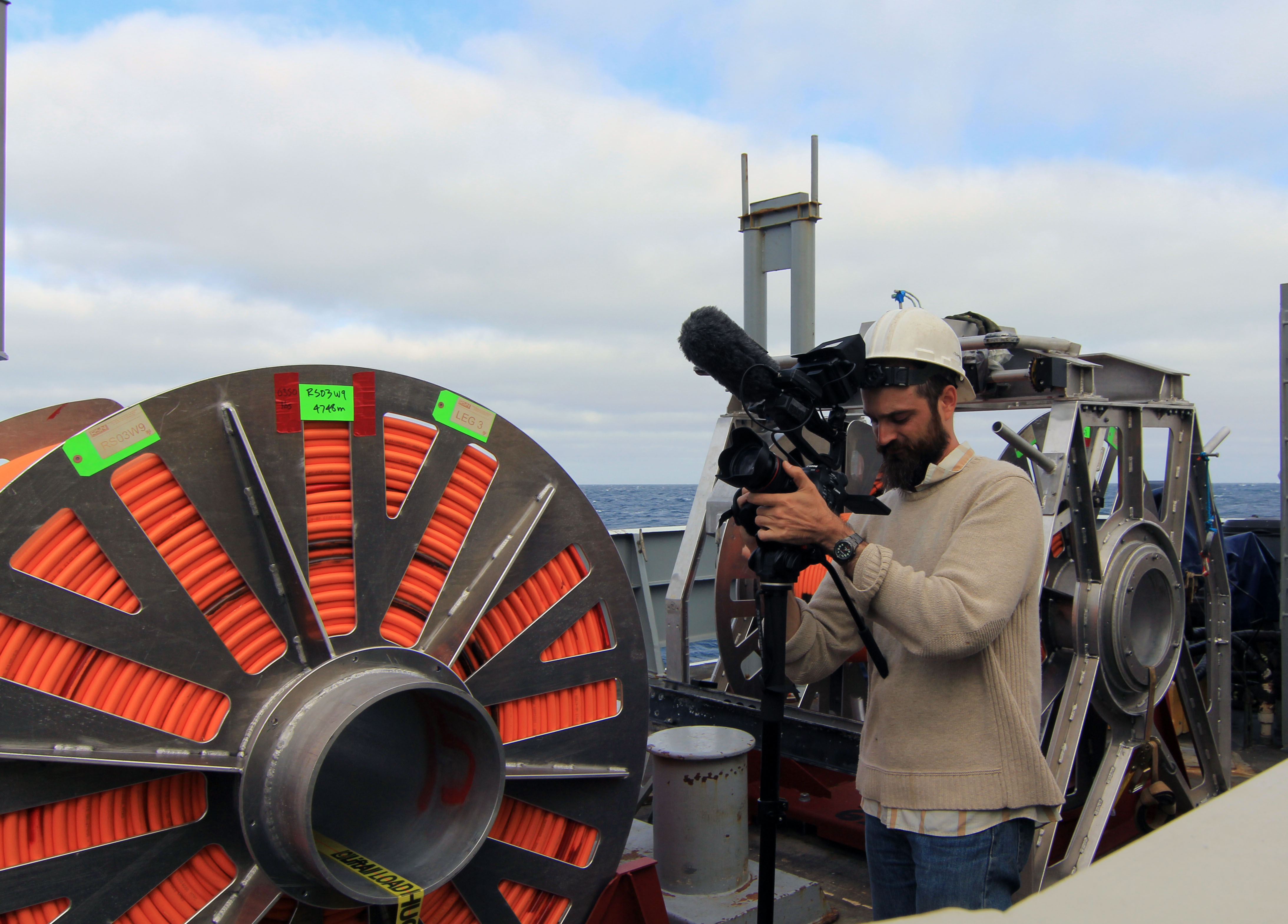
Videographer Ben Fundis captures action on the fantail. (photo: Allison Fundis)

ROCLS, the remotely operated cable laying system, stand ready on R/V Thompson's fantail to deploy the extension cable at primary node 1A. (photo: Allison Fundis)

Graduate student Rick Berg, readies the Mosquito instrument that will be deployed at Hydrate Ridge to measure fluid flow out of and into the sedimented seafloor. (photo: Allison Fundis)

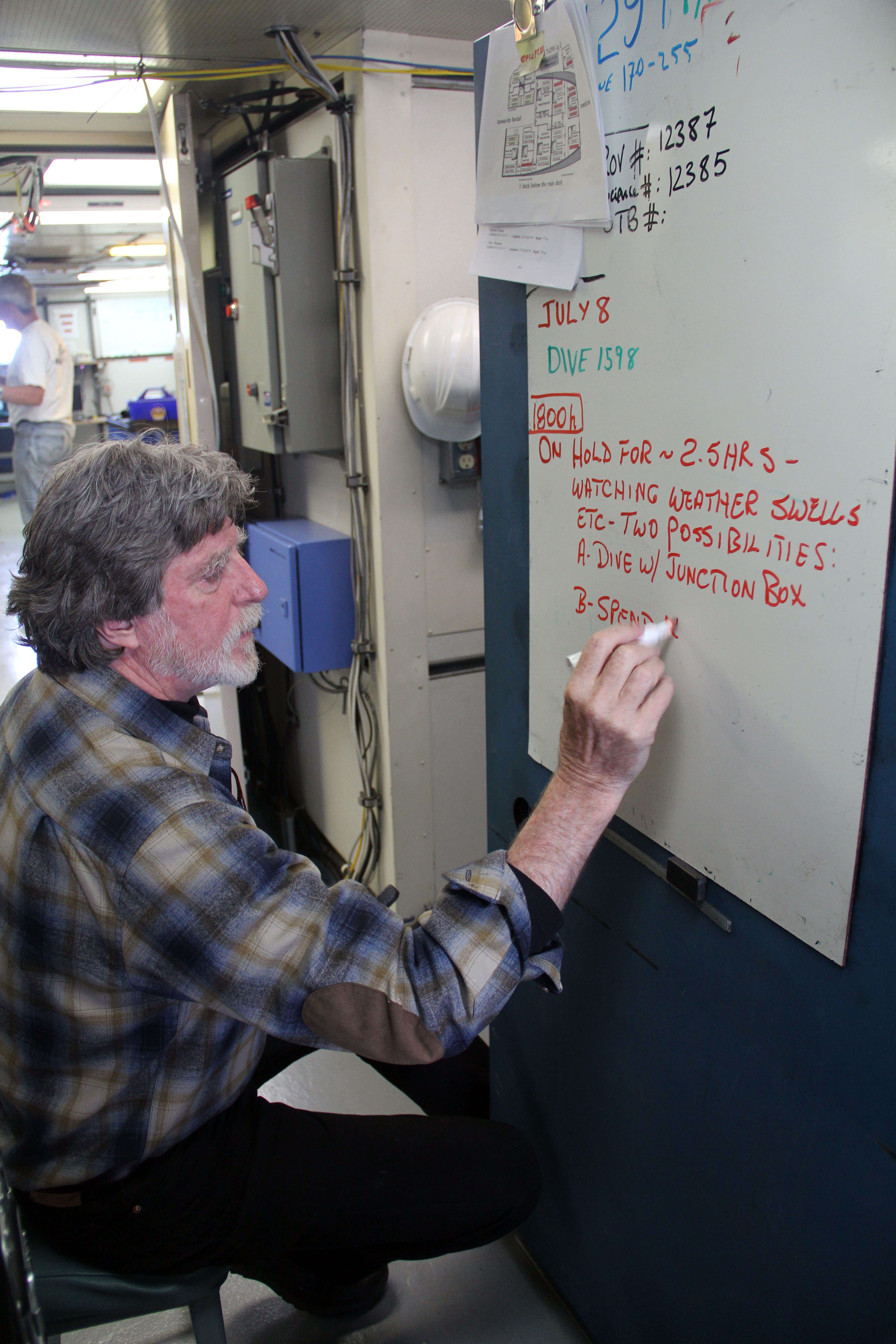
Chief Scientist, John Delaney, updates the whiteboard that serves as the primary message center. It is affectioately nicknamed "The Board of Lies" due to continuously changing and shifting plans at sea. (photo: Allison Fundis)
- Anemone
- Animal
- Arthropod
- ASHES
- Axial
- Axial Base
- Axial Biology
- Axial Caldera
- Bacteria
- Basalt Lava
- BEP
- Biofouling
- biolgoy
- Biology
- Camds
- Camera
- Camhd
- Central Caldera
- Ciliates
- Cnidaria
- Coastal Biology
- Crab
- Deep Profiler Mooring
- Dive Highlights
- Eastern Caldera
- Echinoderms
- Endurance Array
- Engineering Team
- ENLIGHTEN 10
- Exploratorium
- Fish
- Geology
- HD Camera
- HPIES
- Hydrate Ridge
- Hydrates
- Hydrophone
- Hydrothermal Vents
- Illustration
- Inshore 80 Meters
- Instrument
- International District
- J-BOX
- Jason
- Jellyfish
- Junction Box
- K12
- Lava
- Mollusk
- Moorings
- Nodes
- Nudibranch
- Octopus
- OOI
- Oregon Offshore
- Oregon Offshore 600 m
- Oregon Shelf
- Oregon Slope Base
- People
- PN1B
- PN1D
- Polychaetes
- PPSDN
- Primary Node
- RASFL
- ROCLS
- ROPOS
- ROPOS Dives
- ROV Team
- RV Revelle
- RV Sikuliaq
- RV Thompson
- Salp
- Sample
- SC13
- Science Team
- Sea Cucumber
- Sea Star
- Sea Urchin
- Seafloor
- Seismometer
- Sensors
- Shallow Profiler Mooring
- Shark
- Shipboard
- Shore Station
- Slope Base
- Smoker
- Soft Coral
- Southern Hydrate Ridge
- Sponge
- Squid
- Students
- Students & Guest Participants
- Tmpsf
- Tubeworms
- VISIONS 11 Leg 1
- VISIONS 11 Leg 2
- VISIONS 11 Viewers
- VISIONS 13
- VISIONS 14
- VISIONS 15
- VISIONS 16
- VISIONS 17
- VISIONS 18
- VISIONS 20
- VISIONS 22
- VISIONS 23
- Visualization
