Image Archive









A small spider crab walks gingerly across a broken, very glassy lava flow at the summit of Axial Volcano. Photo credit: NSF-OOI/UW/CSSF.

A holothurian forages at 9000 ft at the base of the continental margin ~ 125 km off Newport Oregon. VISIONS '13, Leg 4 Photo credit: NSF-OOI/UW/CSSF.

The ROV ROPOS vacuums out sediment in a caisson at the summit of Southern Hydrate Ridge. In 2014, a broadband seismometer will be placed in the caisson and covered in silica beads to optimize acquisition of acoustic signals by lowering ocean "noise" (e.g. currents). Credit: UW/NSF-OOI/CSSF.

Several crabs dine on a jellyfish buffet on Axial Seamount. (VISIONS '13 Dive R-1615) Photo credit: OOI-NSF/UW/CSSF

A small Flapjack octopus sits atop a lobate flow at the summit of Axial Seamount - water depth ~ 1500 m (nearly 5000 feet beneath the surface). Credit: UW/OOI-NSF/CSSF, V13.

The testing box on ROPOS was used to plug into a 4356 m (14291 ft!) long extension cable (RS03W7) that starts at Primary Node 3B on the northern side of the caldera, runs clear across the caldera, and ends just west of the black smokers in a zone of safety. It will provide power and communication to two short-period seismometers and a three dimensional temperature array deployed in a diffuse flow site at the base of the chimney called Mushroom. VISIONS '13, Leg 3

A purple-hued hagfish weaves its way through the rugged limestone rock at the Pinnacle at South Hydrate. A pink octocoral and orange squat lobster complete the trio. Credit: UW/NSF-OOI/CSSF; ROPOS Dive R1606

Graneledone Octopus on lava dlows at the summit of Axial Seamount. Credit: UW/OOI-NSF/CSSF, ROPOS Dive R1617, V13.

Close up of a soft coral at the southern end of an ~ 60 m tall carbonate Pinnacle at Southern Hydrate Ridge.

The bottom pressure and tilt instrument (BOPT), designed by Bill Chadwick of Oregon State University, being deployed onto the seafloor at Axial Seamount by ROPOS as part of the VISIONS'13 expedition. Credit: UW/OOI-NSF/CSSF; V13.

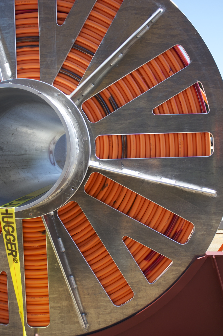
Fiber Optic Cable we are using to connect all of the pieces of our Regional Scale Nodes puzzle Photo by Montgomery Taylor

ROPOS begins its descent into the deep, observed by a local albatross at Axial Seamount. Photo credit: Mitchell Elend

A rattail fish, over a meter long, swims slowly in a collapsed zone at the summit of Axial Volcano. Credit: NSF-OOI/UW/CSSF, V13.

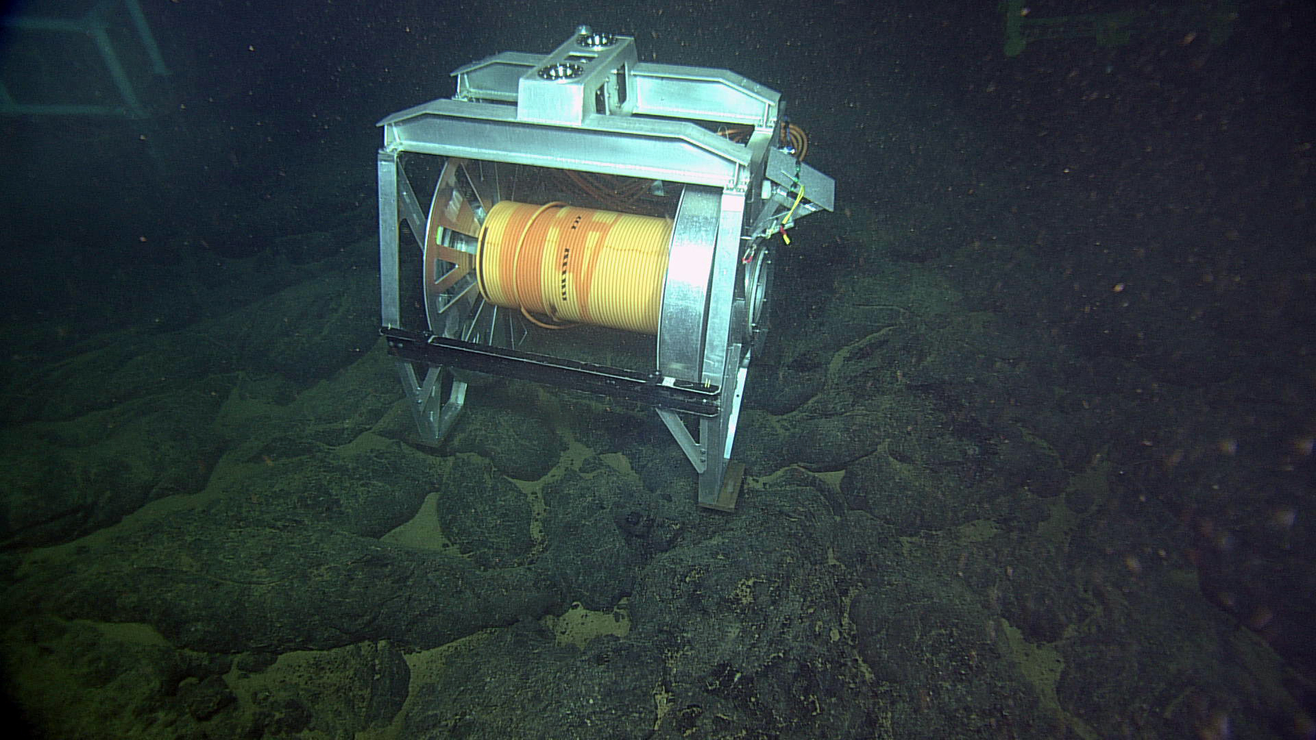
The Remotely Operated Cable Laying System (ROCLS) shown deployed at the summit of Axial Seamount near Primary Node 3B (water depth ~ 5000 ft). The drum holds ~ 2000 ft of cable that will soon be deployed. Once a small section of the cable is secured to the secondary node (in distance, on left), ROPOS will latch into the top of ROCLS and "fly" through the water column, deploying cable underneath it as it travels. Photo Credit NSF-OOI/UW/CSSF.

A Roughtail skate slowly swims by during ROV operations at the base of Axial Volcano. Photo credit: NSF-OOI/UW/CSSF; V13.

A fish at 8000 ft beneath the surface investigates ROV operations at the summit of Axial Volcano. Photo credit: NSF-OOI/UW/CSSF

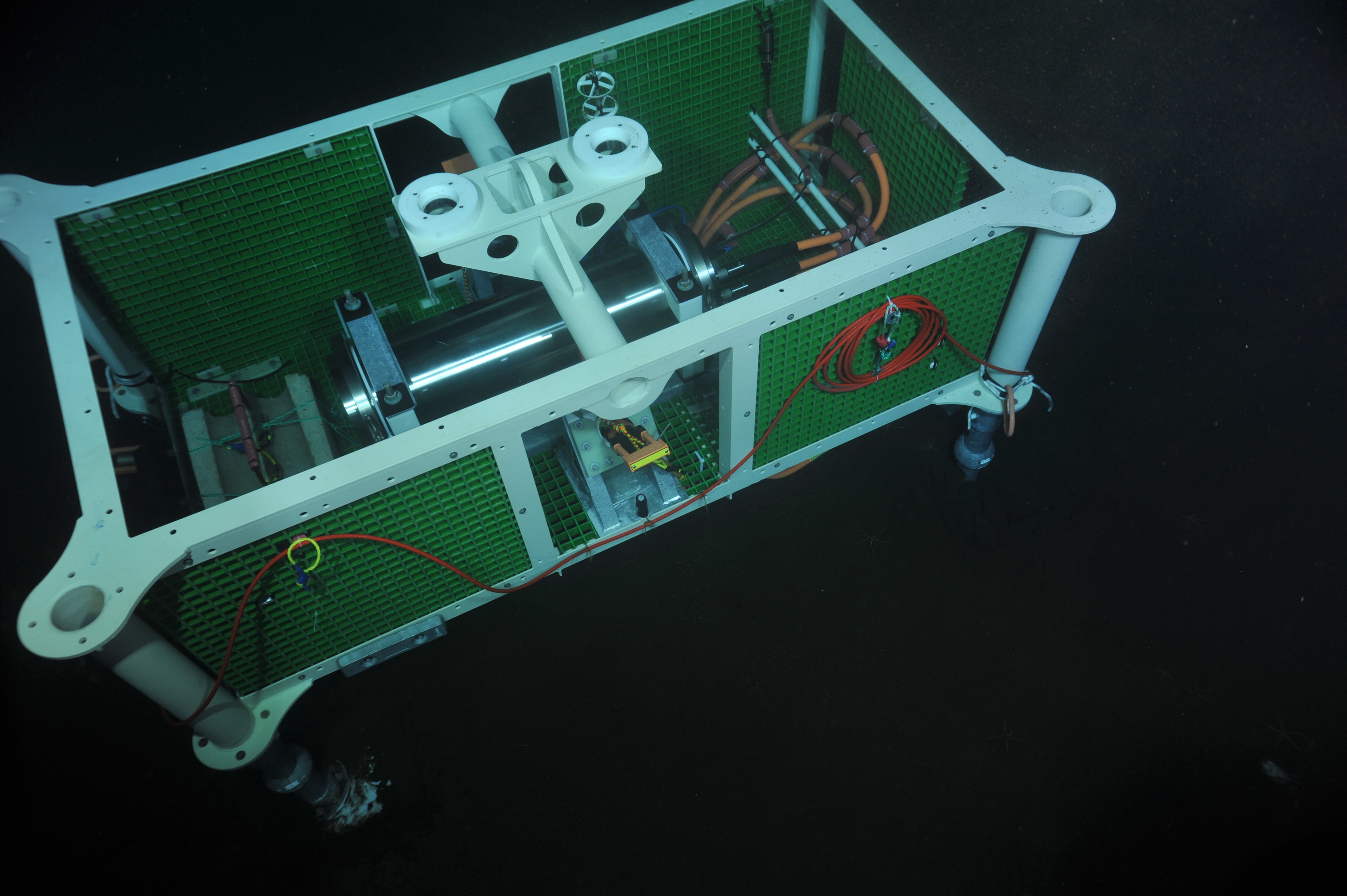
Deployed at the base of Axial Seamount, this secondary node was used as an anchor during the deployment of 600 m of extension cable and during testing while ROPOS dowloaded data from a pressure sensor and current meter. (credit: NSF-OOI/UW/CSSF)

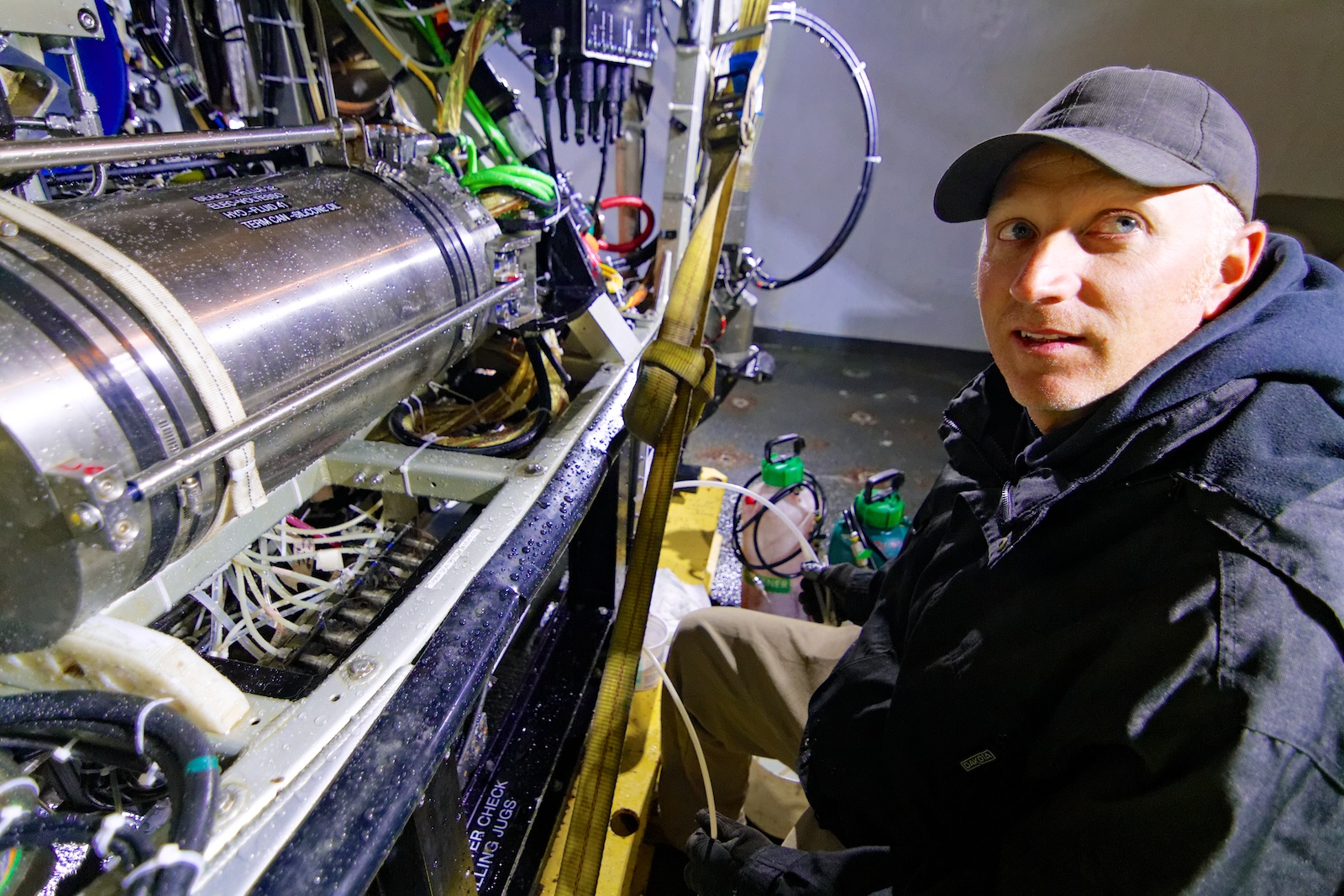
ROPOS pilot and engineer, Josh Chernov, works on the ROV. Photo by Ed McNichol

A medium power Junction Box (MJ01A), was deployed on July 10 near Primary Node 1A at the Slope Base. Photo credit: NSF-OOI/UW/CSSF

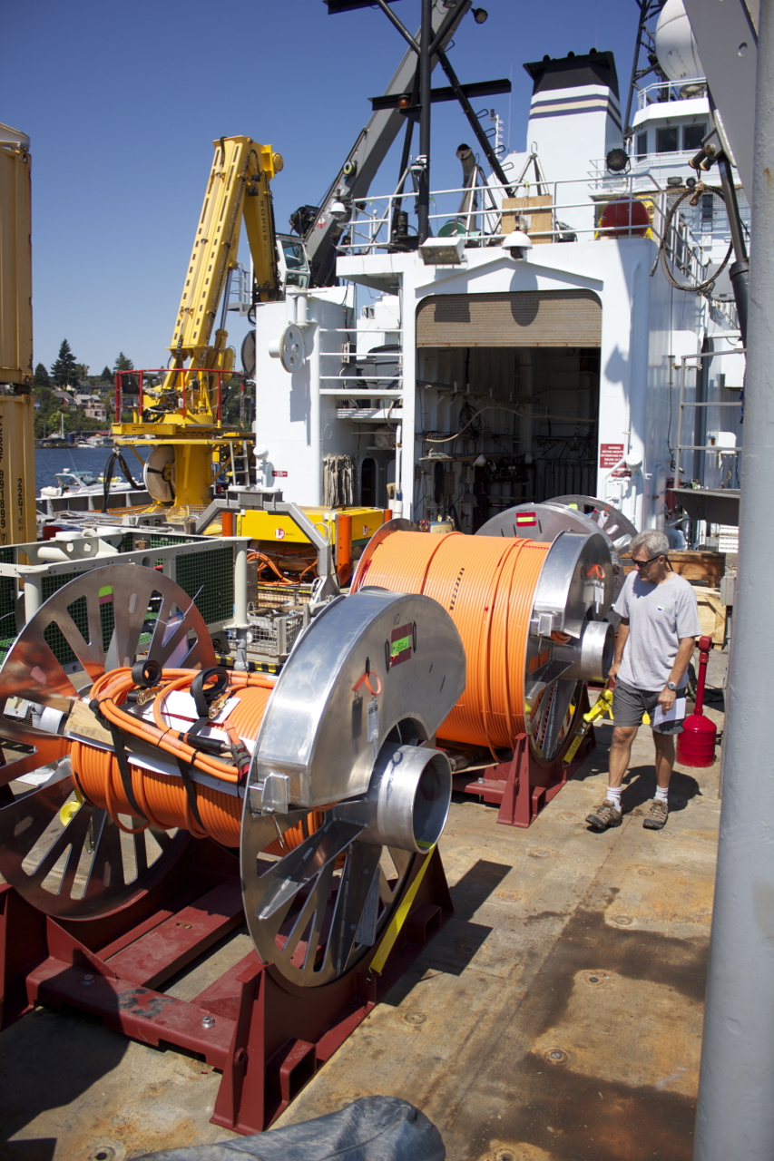
ROCLS, the remotely operated cable laying system, stand ready on R/V Thompson's fantail to deploy the extension cable at primary node 1A. (photo: Allison Fundis)

ROV Pilots in the control room, as we examine the black smoker known as Escargot. (photo: Judy Twedt)

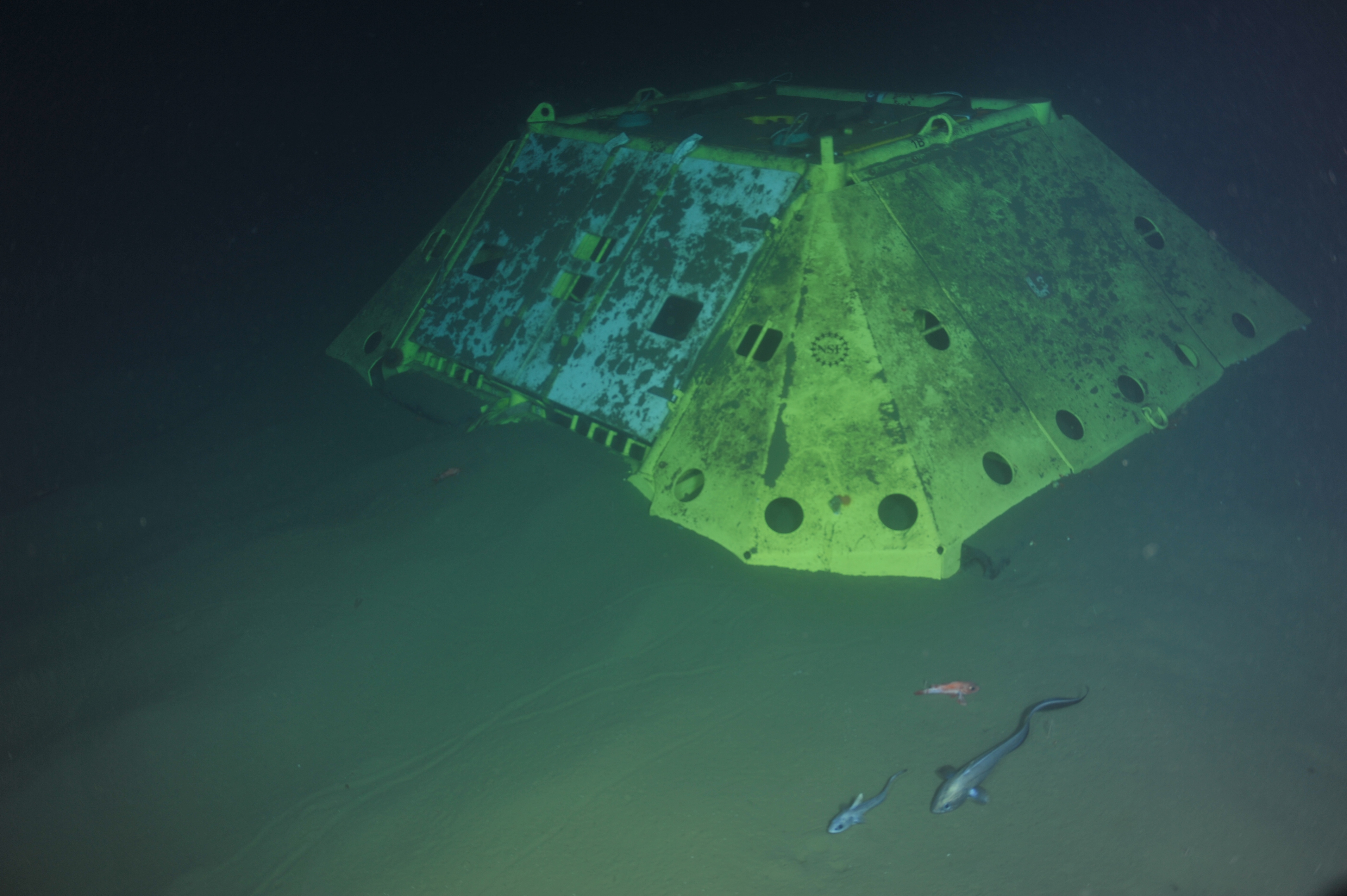
Primary Node 1B will connect instruments at the summit of Southern Hydrate Ridge to the Ocean Observatories Initiative's cabled network. (credit: OOI/UW/CSSF)

The top of the the Escargot Vent in the International District Hydrothermal Vent Field at Axial Seamount. (credit: OOI/UW/CSSF)

ROPOS pilots guide the robotic vehicle as it enters the water above Axial Volcano.

ROPOS begins dive 1592 at the summit of Axial Seamount. Photo by Mitch Elend.

Drums holding extension cables and a secondary node are loaded onto the fantail of the R/V Thompson in preparation for deployment. Photo by Skip Denny.

RSN Cables 4 Photo by Ben Fundis

RSN Cables 1 Photo by Ben Fundis
- Anemone
- Animal
- Arthropod
- ASHES
- Axial
- Axial Base
- Axial Biology
- Axial Caldera
- Bacteria
- Basalt Lava
- BEP
- Biofouling
- biolgoy
- Biology
- Camds
- Camera
- Camhd
- Central Caldera
- Ciliates
- Cnidaria
- Coastal Biology
- Crab
- Deep Profiler Mooring
- Dive Highlights
- Eastern Caldera
- Echinoderms
- Endurance Array
- Engineering Team
- ENLIGHTEN 10
- Exploratorium
- Fish
- Geology
- HD Camera
- HPIES
- Hydrate Ridge
- Hydrates
- Hydrophone
- Hydrothermal Vents
- Illustration
- Inshore 80 Meters
- Instrument
- International District
- J-BOX
- Jason
- Jellyfish
- Junction Box
- K12
- Lava
- Mollusk
- Moorings
- Nodes
- Nudibranch
- Octopus
- OOI
- Oregon Offshore
- Oregon Offshore 600 m
- Oregon Shelf
- Oregon Slope Base
- People
- PN1B
- PN1D
- Polychaetes
- PPSDN
- Primary Node
- RASFL
- ROCLS
- ROPOS
- ROPOS Dives
- ROV Team
- RV Revelle
- RV Sikuliaq
- RV Thompson
- Salp
- Sample
- SC13
- Science Team
- Sea Cucumber
- Sea Star
- Sea Urchin
- Seafloor
- Seismometer
- Sensors
- Shallow Profiler Mooring
- Shark
- Shipboard
- Shore Station
- Slope Base
- Smoker
- Soft Coral
- Southern Hydrate Ridge
- Sponge
- Squid
- Students
- Students & Guest Participants
- Tmpsf
- Tubeworms
- VISIONS 11 Leg 1
- VISIONS 11 Leg 2
- VISIONS 11 Viewers
- VISIONS 13
- VISIONS 14
- VISIONS 15
- VISIONS 16
- VISIONS 17
- VISIONS 18
- VISIONS 20
- VISIONS 22
- VISIONS 23
- Visualization
