Image Archive









Ben Brand shows Kearstin the 'ropes' in making multicolored monkey fists. Credit: Mitch Elend, University of Washington, V15.

Deb brings in a recovered carbonate cobble with egg casings of Neptunea snails from Southern Hydrate Ridge. The eggs can take up to 1 year to hatch. Credit: Mitch Elend, University of Washington, V15.

Huge, 5 ft-long rattail fish populate the area aroungd the International District Hydrothermal Field. Credit: UW/NSF/OOI/CSSF; ROPOS Dive R1838; V15.

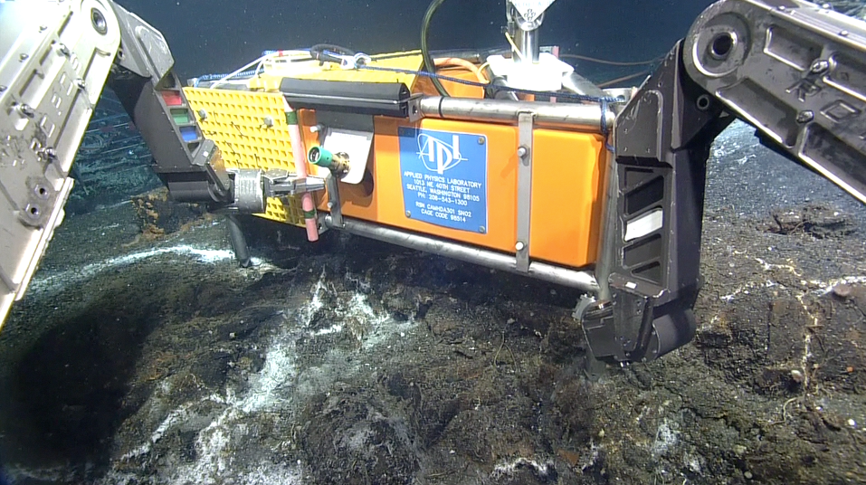
ROPOS latches into a Shallow Profiler for installation during the Cabled Array VISIONS'15 cruise. Credit: Mitch Elend, University of Washington, V15.

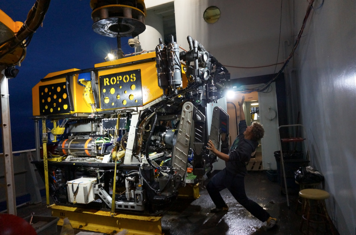
Jesse getting attacked by ROPOS (Remotely Operated Platform for Ocean Science).

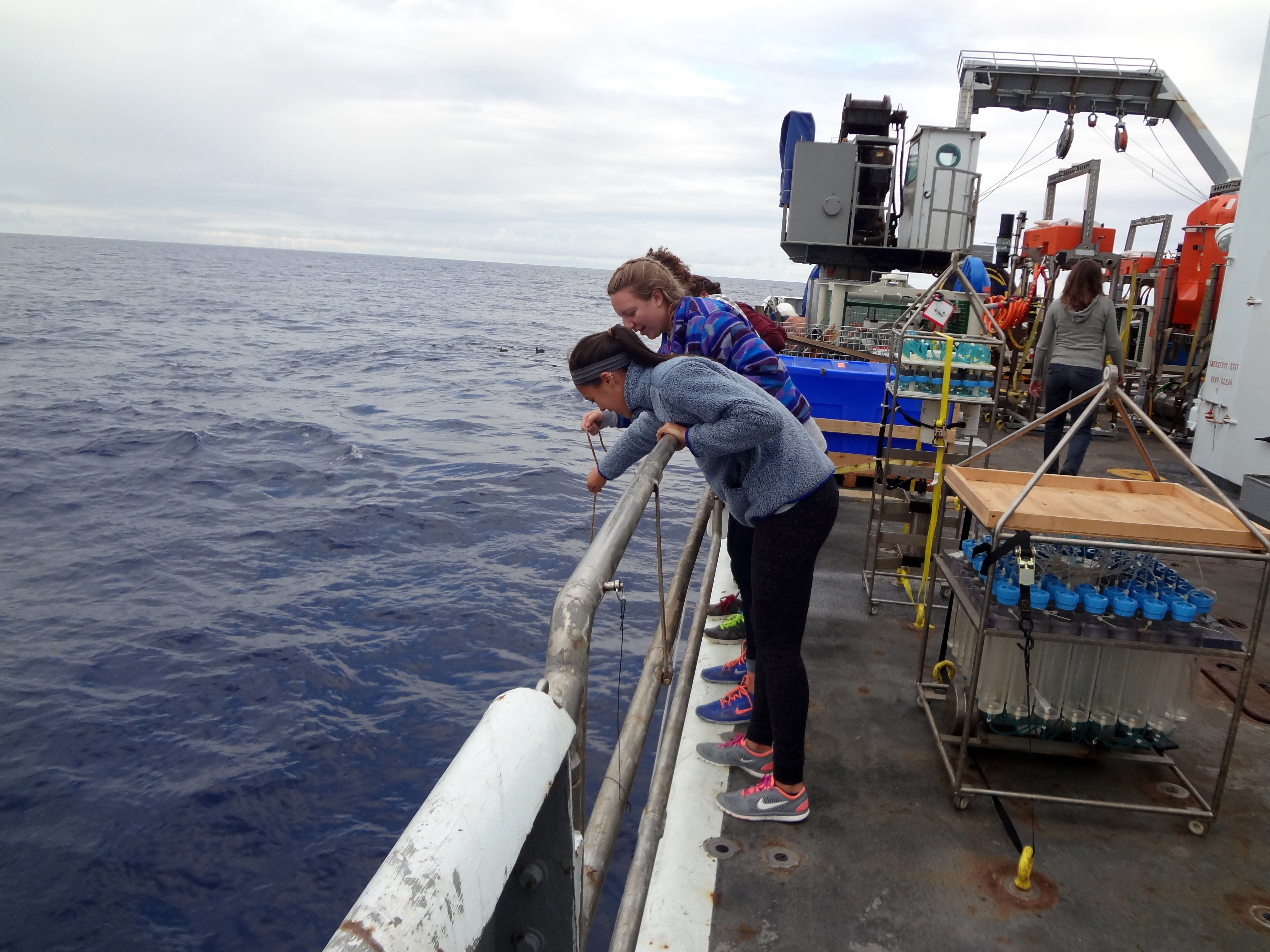
Students onboard the R/V Thompson collect velella velella (by-the-wind-sailors) off the starboard side during Leg 1 of the Cabled Array VISIONS'15 expedition. Credit: Mitch Elend, University of Washington.

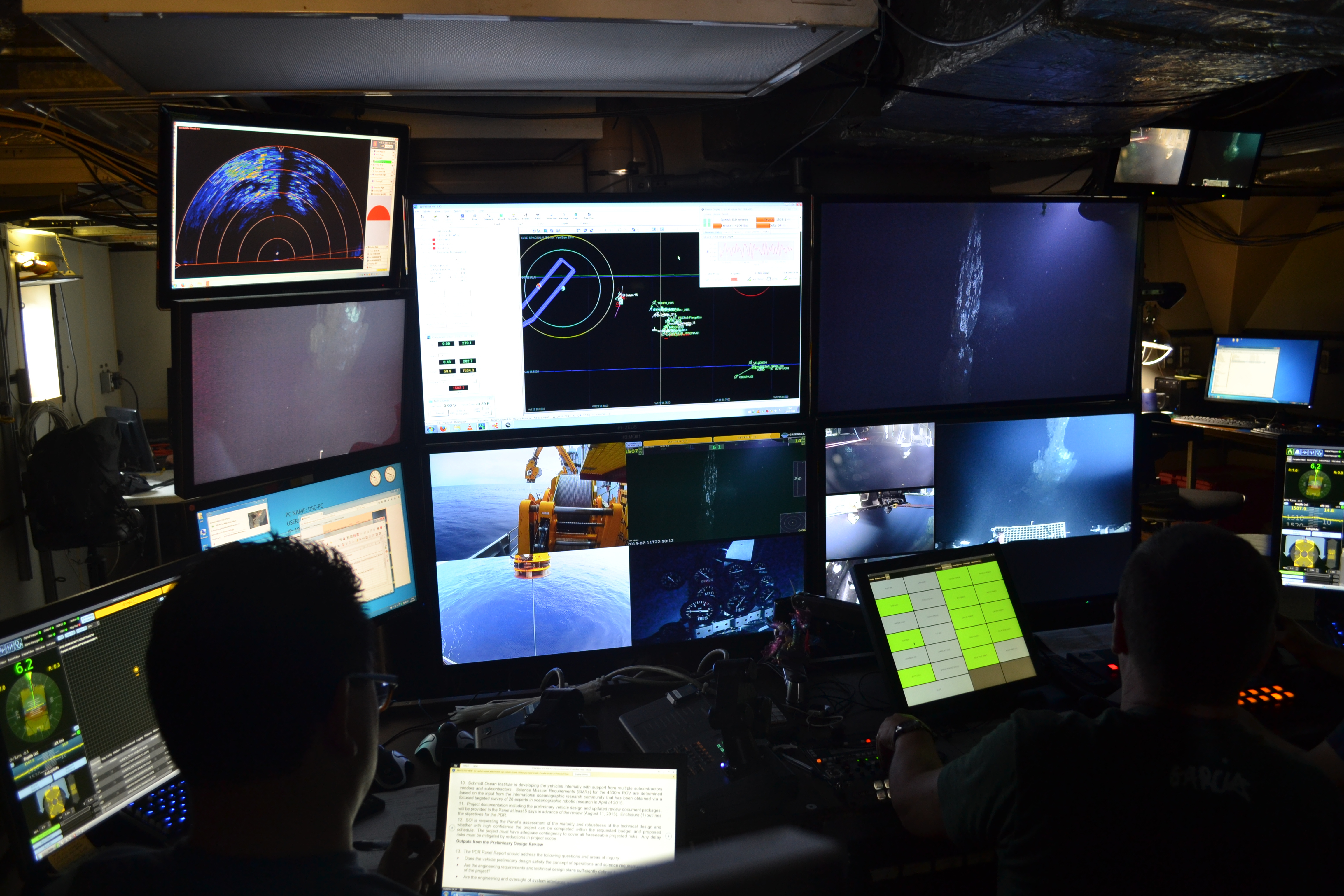
The ROPOS control room onboard the R/V Thompson as it works at the 18 m tall (59 ft) actively venting chimney called El Guapo in the International District Hydrothermal Field. Credit: Mitch Elend, University of Washington, V15.

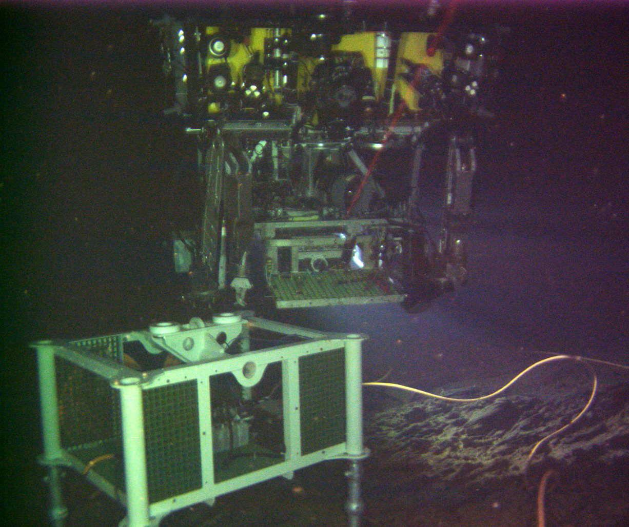
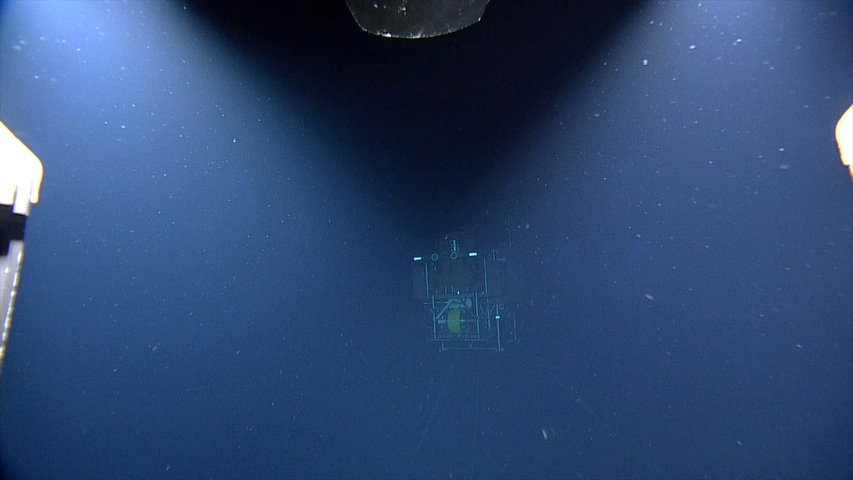
A first glimpse of the shallow winched profiler coming out of its docking station at the base of Axial Seamount. NSF/OOI/UW/ISS; Dive R1842; V15.

1835junk

1834junk

1833junk

A digital still camera, mass spectrometer, and fluid and microbial DNA sampler installed at the El Gordo hydrothermal chimney, International District Hydrothermal Field, Axial Seamount. A small, 1-day old chimlet sprouts from the 280°C, gas-rich vent called Dive in the International District Hydrothermal Field. NSF-OOI/UW/ISS; Dive R1839; V15.

Collapse basins marked by columns, drainback features, and arches are common features in areas where lava ponded and spilled rapidly over the seafloor in 2011. A small, 1-day old chimlet sprouts from the 280°C, gas-rich vent called Dive in the International District Hydrothermal Field. Credit: UW/NSF-OOI/CSSF; ROPOS Dive R1839; V15.

Emily Peter

Ian Black

A small, 1-day old chimlet sprouts from the 280°C, gas-rich vent called Dive in the International District Hydrothermal Field. Credit: UW/NSF-OOI/CSSF; ROPOS Dive R1839; V15.

A huge rattail, ~ 5 feet in length, swims slowly in front of the ROV ROPOS near the International District Hydrothermal Field at a depth of 5000 ft beneath the ocean's surface. This area has a higher abundance of these fish than observed elsewhere in the caldera, perhaps because of the larger size of the vent field and hence food source. Credit: UW/NSF-OOI/CSSF; ROPOS Dive R1729; V15.

The newly installed digital still camera at the El Gordo vent within the International District hydrothermal field catches ROPOS above the mass spectrometer. Credit: NSF/OOI/UW, V15.

r1831highlights-poster

Malea and Diana laugh, recognizing they both dressed alike during a morning on the R/V Thompson expedition. Credit: Ed McNichol, V15.

A small shark swims past the mooring platform at the base of Axial Seamout - the platorm is ~ 600 ft beneath the ocean's surface. Credit: NSF-OOI/UW/ISS; V15.

The ROPOS control room onboard the R/V Thompson is a magical place for many where we get to see parts of the ocean never before seen, and first of their kind operations.

A school of small fish greeted the ROV ROPOS during our first visit to this ~ 600 ft deep platform since it was installed in 2014. Credit: NSF-OOI/UW/ISS; Dive R1832; V15.

r1832highlights-poster

A titanium 'cap' is placed on the top of El Gordo by ROPOS, which focuses the diffuse fluid so that a fluid and microbial DNA sampler can get hydrothermal fluids samples largely undiluted by seawater. The fluid-DNA sampler is in the background. Credit: NSF-OOI/UW/ISS; Dive R1836; V15.

The RO ROPOS holds a 'IGT' gas tight bottle in the orifice of the 280°C chimney called Diva. The high temperature fluids exiting the seafloor at this anhydrite-rich (CaSO4) vent contain the highest carbon dioxide concentrations at Axial Seamount. Credit: NSF-OOI/UW/ISS; Dive R1836; V15.

Pyconogonids are abundant on many sulfide structures in the vent fields within the caldera of Axial Seamount. These 8-legged anthropods are commonly found in areas where venting has stopped, leaving variably oxidized edificies. Here, they are associated with snails an a small scale worm ~ 1 cm; in length. Credit: UW/NSF-OOI/CSSF; ROPOS Dive R1836; V15.

Kadijah Homolka models a gumby suit during the Leg 1 safety meeting.
- Anemone
- Animal
- Arthropod
- ASHES
- Axial
- Axial Base
- Axial Biology
- Axial Caldera
- Bacteria
- Basalt Lava
- BEP
- Biofouling
- biolgoy
- Biology
- Camds
- Camera
- Camhd
- Central Caldera
- Ciliates
- Cnidaria
- Coastal Biology
- Crab
- Deep Profiler Mooring
- Dive Highlights
- Eastern Caldera
- Echinoderms
- Endurance Array
- Engineering Team
- ENLIGHTEN 10
- Exploratorium
- Fish
- Geology
- HD Camera
- HPIES
- Hydrate Ridge
- Hydrates
- Hydrophone
- Hydrothermal Vents
- Illustration
- Inshore 80 Meters
- Instrument
- International District
- J-BOX
- Jason
- Jellyfish
- Junction Box
- K12
- Lava
- Mollusk
- Moorings
- Nodes
- Nudibranch
- Octopus
- OOI
- Oregon Offshore
- Oregon Offshore 600 m
- Oregon Shelf
- Oregon Slope Base
- People
- PN1B
- PN1D
- Polychaetes
- PPSDN
- Primary Node
- RASFL
- ROCLS
- ROPOS
- ROPOS Dives
- ROV Team
- RV Revelle
- RV Sikuliaq
- RV Thompson
- Salp
- Sample
- SC13
- Science Team
- Sea Cucumber
- Sea Star
- Sea Urchin
- Seafloor
- Seismometer
- Sensors
- Shallow Profiler Mooring
- Shark
- Shipboard
- Shore Station
- Slope Base
- Smoker
- Soft Coral
- Southern Hydrate Ridge
- Sponge
- Squid
- Students
- Students & Guest Participants
- Tmpsf
- Tubeworms
- VISIONS 11 Leg 1
- VISIONS 11 Leg 2
- VISIONS 11 Viewers
- VISIONS 13
- VISIONS 14
- VISIONS 15
- VISIONS 16
- VISIONS 17
- VISIONS 18
- VISIONS 20
- VISIONS 22
- VISIONS 23
- Visualization
