Image Archive







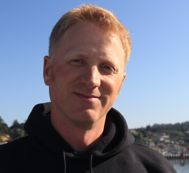


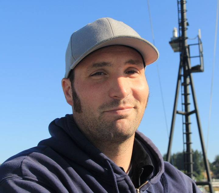


Cody and Martha!!

Into the Mist

Martha, Dustin, Brendan, Matt, and Kathy

Embarking on the R/V Thompson

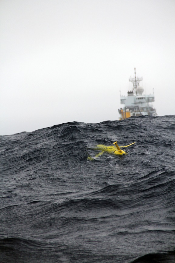
Rutger's Slocum glider was deployed August 21st to begin surveying the perimeter of Axial Seamount's caldera to a depth of 1000 meters. (photo by Allison Fundis)

Developed by Dr. Cody Youngbull (Arizona State University). Sensor is transmitting temperature, pH and oxygen concentration readings through optical digital signals.

Glider opperated by Rutgers University.

Sensor Bot developed by Dr. Cody Young-Bull (Arizona State University).

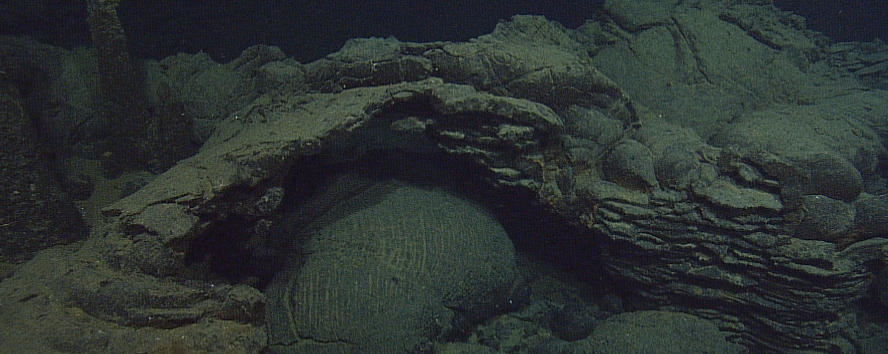
Lobate flow contact

A collapse pond feature arches across a large pillow lava near to ASHES vent field

Debbie Kelley, John Kelley, and Alden Denny look over newly acquired EM302 data. (photo by Allison Fundis)

Dive_Highlight_1461

Dive_Highlight_1460

This down-looking image was taken to create an extremely detailed view of methane seeps at Southern Hydrate Ridge. The left portion of the image shows part of a large collapse zone. White areas are bacterial mats. Credit. M. Elend, University of Washington.

One of the many sensorbots that Cody Youngbull will deploy at Axial Seamount. (photo by Allison Fundis)

ASU faculty member Cody Youngbull shows one of his sensorbots that he will be deploying at Axial Seamount. (photo by Allison Fundis)

UW-APL engineer James Tilley and U of Western Ontario student Alexandra Powell help piece together Cody Youngbull's sensorbots for deployment. (photo by Allison Fundis)

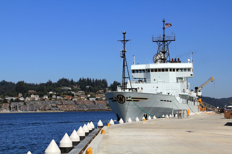
The R/V Thompson in port at the NOAA facility in Newport, OR. (photo by Martha James)

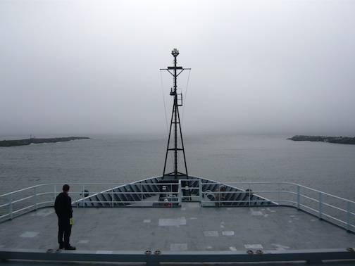
UW undergraduate students Adrian Rembold and Cody Turner enjoy the view as the Thompson pulls out of port in Newport, OR. (photo by Martha James)

Sunset during the transit from Newport, OR to Axial Seamount. (photo by Martha James)

Dive1459

Newcomers on the ship attended a safety meeting before the transit to Axial Seamount began. (photo by Allison Fundis)

August 19th marked the port stop between Leg 1 and 2 of VISIONS'11. The Thompson was docked at the new NOAA pier for a few hours in the afternoon while there was a partial personnel change. (photo by Allison Fundis)

Josh Chernoy, ROPOS

Colin Wilson, ROPOS

Vincent Auger, ROPOS

Reuben Mills, ROPOS

Jonathan Lee, ROPOS
- Anemone
- Animal
- Arthropod
- ASHES
- Axial
- Axial Base
- Axial Biology
- Axial Caldera
- Bacteria
- Basalt Lava
- BEP
- Biofouling
- biolgoy
- Biology
- Camds
- Camera
- Camhd
- Central Caldera
- Ciliates
- Cnidaria
- Coastal Biology
- Crab
- Deep Profiler Mooring
- Dive Highlights
- Eastern Caldera
- Echinoderms
- Endurance Array
- Engineering Team
- ENLIGHTEN 10
- Exploratorium
- Fish
- Geology
- HD Camera
- HPIES
- Hydrate Ridge
- Hydrates
- Hydrophone
- Hydrothermal Vents
- Illustration
- Inshore 80 Meters
- Instrument
- International District
- J-BOX
- Jason
- Jellyfish
- Junction Box
- K12
- Lava
- Mollusk
- Moorings
- Nodes
- Nudibranch
- Octopus
- OOI
- Oregon Offshore
- Oregon Offshore 600 m
- Oregon Shelf
- Oregon Slope Base
- People
- PN1B
- PN1D
- Polychaetes
- PPSDN
- Primary Node
- RASFL
- ROCLS
- ROPOS
- ROPOS Dives
- ROV Team
- RV Revelle
- RV Sikuliaq
- RV Thompson
- Salp
- Sample
- SC13
- Science Team
- Sea Cucumber
- Sea Star
- Sea Urchin
- Seafloor
- Seismometer
- Sensors
- Shallow Profiler Mooring
- Shark
- Shipboard
- Shore Station
- Slope Base
- Smoker
- Soft Coral
- Southern Hydrate Ridge
- Sponge
- Squid
- Students
- Students & Guest Participants
- Tmpsf
- Tubeworms
- VISIONS 11 Leg 1
- VISIONS 11 Leg 2
- VISIONS 11 Viewers
- VISIONS 13
- VISIONS 14
- VISIONS 15
- VISIONS 16
- VISIONS 17
- VISIONS 18
- VISIONS 20
- VISIONS 22
- VISIONS 23
- Visualization
